Take the Croatian Rivers Geography Quiz
Test Your Knowledge of Croatian Waterways
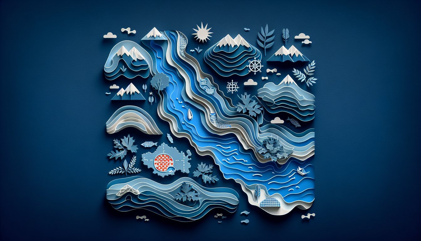
Whether you're fascinated by Croatian rivers or exploring European geography, this Croatian Rivers Geography Quiz is the perfect challenge. With 15 multiple-choice questions, the quiz deepens understanding of river systems and regional landscapes. Ready to expand your knowledge? Try our European Geography Knowledge Quiz or challenge yourself with the Local Geography Trivia Quiz. You can also customize this quiz in the quizzes editor for classroom or self-study. Start testing your grasp on Croatian rivers today!
Learning Outcomes
- Identify the major Croatian rivers and their courses
- Analyse river patterns and their geographic impact
- Evaluate the role of waterways in Croatia's ecosystems
- Apply mapping skills to locate rivers across Croatia
- Master key characteristics of Croatia's waterways
Cheat Sheet
- Explore the Sava River's Course and Significance - The Sava River snakes its way 945 km across Central Europe and carves a 562 km path through Croatia, connecting vibrant cities like Zagreb and Sisak. It's a vital corridor for boats, farmers and wildlife, shaping local life with its steady flow. Dive into its twists and turns to uncover the story of Croatia's longest waterway! Learn more on Wikipedia
- Understand the Drava River's Path and Impact - Stretching 707 km (505 km in Croatia), the Drava is a powerhouse for ecosystems, hydroelectric stations and even epic rafting adventures. It weaves through wetlands and woodlands, supporting fish, birds and lakeside communities. Follow its flow to see how Croatia harnesses nature's energy! Check the Drava slides on SlidePlayer
- Learn About the Kupa River's Role - The 296 km-long Kupa River marks part of the Croatia - Slovenia border and feeds into the Sava, nurturing forests, meadows and fun swimming spots. Its clear waters host otters and kingfishers, making it a hotspot for biodiversity and outdoor recreation. Get to know this friendly border stream! Discover more on Wikipedia
- Discover the Neretva River's Unique Delta - The Neretva flows 225 km (50 km in Croatia) before fanning out into a lush delta, famed for citrus orchards and rare bird species. This green mosaic of channels and marshes shows how people and nature can thrive together on fertile floodplains. Explore the delta's magic and its agricultural bounty! Read the Neretva study on NCBI
- Examine the Cetina River's Hydroelectric Importance - The Cetina races 101 km through rugged karst terrain, powering dams and creating spectacular canyons ideal for rafting and canyoning. By balancing energy production with stunning natural scenery, it's a living example of smart resource use. Trace its route to see where adrenaline meets engineering! Learn more on Wikipedia
- Analyze River Patterns and Their Geographic Impact - Croatia's rivers carve valleys, feed plains and guide where towns and farms spring up, from the mighty Sava to the winding Kupa. Spotting meanders, deltas and tributaries on a map reveals how water shapes human settlement and land use. It's like reading the country's blueprint - one curve at a time! Explore river patterns on SlidePlayer
- Evaluate the Role of Waterways in Croatia's Ecosystems - Rivers such as the Neretva and Cetina teem with fish, support wetlands and irrigate fields, underlining their ecological and economic value. Studying their habitats shows why clean, well-managed waters are critical for both wildlife and farmers. Dive into the science of sustainable river stewardship! Explore ecosystem insights on NCBI
- Apply Mapping Skills to Locate Rivers Across Croatia - Tracing the Sava, Drava, Kupa and others on a map is like a geography treasure hunt - each turn reveals new regions and landmarks. Sharpen your spatial sense by sketching their courses, noting tributaries and measuring distances. It's a fun way to boost your map-reading superpowers! Practice maps on SlidePlayer
- Master Key Characteristics of Croatia's Waterways - Commit lengths, source points, flow directions and main tributaries of rivers like the Sava and Drava to memory. Knowing these facts helps you piece together the country's hydrological network like a puzzle. Once you've got it down, you'll speak the language of water! Review hydrology slides on SlidePlayer
- Explore the Cultural and Historical Significance of Rivers - From ancient trade routes to epic battles, the Neretva and other rivers have shaped Croatia's heritage and folklore. Understanding their stories adds depth to every lesson in history and culture. Follow the currents that carried civilizations! Read more on Britannica