Regional Geography Knowledge Quiz Challenge
Explore World Regions with Engaging Quiz
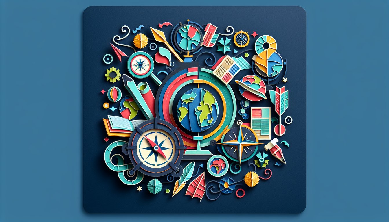
Get ready to dive into a regional geography quiz that hones your knowledge of world regions and their unique features. You'll tackle questions on climates, landmarks, and cultural landscapes that bring geography to life. Jump into the Regional Geography Trivia Quiz or test broader topics with the Geography Knowledge Quiz. Educators and learners can freely modify this quiz in our editor, customizing difficulty and focus regions. Explore more quizzes to enrich your studies and make learning truly interactive.
Learning Outcomes
- Identify major geographical regions and their characteristics.
- Analyze spatial patterns in cultural and physical geography.
- Compare regional climates and ecosystems around the world.
- Locate key cities, rivers, mountains, and landmarks accurately.
- Interpret maps and regional data effectively.
Cheat Sheet
- Geographical Zones - Dive into our planet's five major latitudinal belts: the North Frigid Zone, North Temperate Zone, Torrid Zone, South Temperate Zone, and South Frigid Zone. Each zone boasts distinct climates - from polar chills to equatorial heat - shaping ecosystems and weather patterns worldwide. Mapping these zones helps you visualize how sunlight and latitude drive global climate trends. Geographical zone
- The Tropics - Explore the sun-drenched region straddling the Equator where solar rays hit most directly, producing consistently high temperatures and minimal seasonal shifts. This belt hosts some of Earth's most biodiverse biomes, from lush rainforests to sprawling deserts. Understanding the tropics reveals how sunlight and heat influence rainfall, vegetation, and global weather systems. Tropics
- Spatial Patterns - Learn how people, natural features, and phenomena arrange themselves on Earth's surface in clustered, dispersed, linear, or random formations. Spotting these patterns on maps helps decode urban growth, migration routes, or wildlife habitats. Practice identifying different layouts to sharpen your geographic observation skills. What are Spatial Concepts?
- Cultural Landscapes - Discover how human activities - from farming terraces to sprawling metropolises - blend with natural features to create unique cultural landscapes. These mosaics of land use, architecture, religion, and language tell stories of migration, conquest, and adaptation. Studying them offers insight into how societies shape - and are shaped by - their environment over time. Cultural Patterns and Processes
- World Religions - Map the geographic spread of major faiths - Christianity, Islam, Hinduism, Buddhism - and see how they influence art, politics, and daily life. Recognizing these patterns helps explain cultural identities, historical conflicts, and global cooperation. It's like tracing humanity's spiritual footprint across continents! Patterns of Language, Religion & Ethnicity
- Major Mountain Ranges - Identify towering chains such as the Himalayas, Andes, Rockies, and Alps, which influence local weather, biodiversity, and human settlements. These peaks carve rain shadows, direct river flows, and create natural borders. Knowing their location and impact helps you understand climate barriers and migration pathways. Understanding the World's Major Geographical Features
- Famous Rivers - Trace the courses of life-giving waterways like the Nile, Amazon, Mississippi, and Yangtze, which sculpt valleys, nourish crops, and support trade. Rivers often define political boundaries and cultural regions as they carve through landscapes. Following their paths reveals the heartbeat of civilizations past and present. Understanding the World's Major Geographical Features
- Advanced Spatial Analysis - Dive deeper into how spatial patterns reveal connections, from urban sprawl to disease clusters. Tools like GIS let you layer data, measure distances, and model spatial autocorrelation to uncover hidden trends. Mastering these techniques unlocks powerful insights into human - environment interactions. Unlocking the Power of Spatial Patterns in Geography
- Language Distribution - Chart the spread of languages shaped by migration, colonization, and trade routes. From the global dominance of English to pockets of indigenous tongues, linguistic maps illustrate cultural diffusion and contact. Understanding these distributions sheds light on identity, communication, and societal change. Patterns of Language, Religion & Ethnicity
- Map Interpretation - Hone your skills reading political, physical, and thematic maps: decode symbols, color gradients, scales, and legends with confidence. This lets you pinpoint cities, mountain ranges, climate zones, and economic activities accurately. Regular practice turns you into a spatial-savvy explorer ready to tackle any map-based challenge. What are Spatial Concepts?