Unlock hundreds more features
Save your Quiz to the Dashboard
View and Export Results
Use AI to Create Quizzes and Analyse Results

Sign inSign in with Facebook
Sign inSign in with Google

Test Yourself: Regional Geography Trivia Quiz

Challenge Your Knowledge of World Regions

Difficulty: Moderate
Questions: 20
Learning OutcomesStudy Material
Colorful paper art displaying elements related to Regional Geography Trivia Quiz

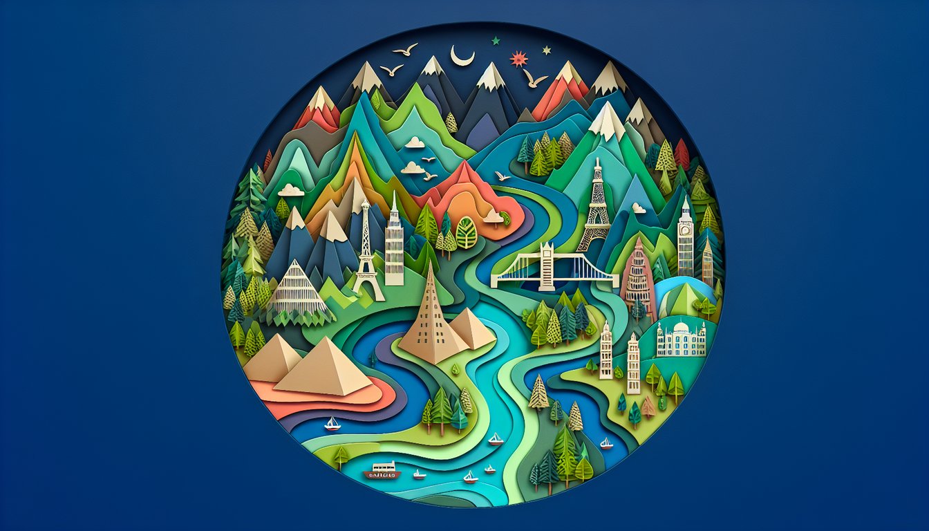
Welcome to a fun and educational Regional Geography Trivia Quiz designed to spark curiosity about world regions. Whether you're prepping for geography trivia or looking to brush up on cultural and physical landscapes, this regional quiz challenges you on maps, climates, and landmarks. Each question is easily customizable in our editor, so teachers and students can adapt it to any lesson plan. Try the Regional Geography Knowledge Quiz, explore the Geography Trivia Quiz, or browse all our quizzes to keep your skills sharp.

Which city is the capital of Australia?
Brisbane
Melbourne
Sydney
Canberra
Canberra was specifically selected as the capital of Australia in 1908 to resolve rivalry between Sydney and Melbourne. It is located in the Australian Capital Territory.
Which river is commonly regarded as the longest in the world?
Amazon
Nile
Mississippi
Yangtze
The Nile River is generally considered the longest at about 6,650 km, flowing through northeastern Africa. While the Amazon is a close contender, most sources list the Nile as the longest.
The Sahara Desert is located on which continent?
North America
Australia
Africa
Asia
The Sahara is the largest hot desert in the world and spans much of North Africa. It covers parts of several countries from the Atlantic coast to the Red Sea.
Mount Everest is part of which mountain range?
Alps
Andes
Himalayas
Rockies
Mount Everest lies on the crest of the Great Himalaya Range in Asia, on the border between Nepal and China. It is the world's highest peak at 8,848 meters.
Which city is located almost directly on the Equator (0° latitude)?
Cairo
Bangkok
Quito
Nairobi
Quito, Ecuador's capital, is situated almost exactly on the Equator. The city even has a monument marking the equatorial line just north of downtown.
Which city experiences a monsoon-influenced humid subtropical climate with heavy seasonal rainfall?
Cairo
Moscow
Mumbai
Bogotá
Mumbai has a tropical wet and dry climate with a pronounced monsoon season from June to September. This pattern classifies it as a monsoon-influenced humid subtropical climate.
Which European country has the highest GDP per capita as of recent data?
Italy
Luxembourg
Germany
France
Luxembourg consistently ranks highest in Europe for GDP per capita due to its strong financial sector and small population. It surpasses larger economies in per-person wealth metrics.
Which river forms a significant part of the border between the United States and Mexico?
Missouri
Rio Grande
Mississippi
Colorado River
The Rio Grande flows from Colorado, through New Mexico and Texas, and defines much of the U.S. - Mexico border. Other rivers listed do not form this international boundary.
Which of these countries is NOT part of the Nile River Basin?
Kenya
Ethiopia
Egypt
Sudan
Kenya does not lie within the Nile's drainage basin, whereas Egypt, Sudan, and Ethiopia all contain tributaries or portions of the Nile watershed.
The Great Barrier Reef is located off the coast of which Australian state?
New South Wales
Victoria
Western Australia
Queensland
The Great Barrier Reef stretches along the northeastern coast of Queensland in Australia. It is the world's largest coral reef system.
Which demographic phenomenon describes the shift from high birth and death rates to low birth and death rates as societies develop?
Demographic Transition
Industrialization
Urbanization
Globalization
The Demographic Transition Model explains how populations move from high birth and death rates to low birth and death rates through stages of development. It is a core concept in population geography.
On a Mercator projection map, which region appears significantly larger than its actual size?
Greenland
Sahara
Brazil
Congo Basin
Mercator projection exaggerates the size of regions near the poles, making Greenland appear much larger than it truly is. Equatorial regions are less distorted.
Which economic union includes Argentina, Brazil, Paraguay, and Uruguay?
European Union
ASEAN
NAFTA
Mercosur
Mercosur is a South American trade bloc founded in 1991, with Argentina, Brazil, Paraguay, and Uruguay as full members. It aims to promote free trade and fluid movement of goods.
The Scandinavian Peninsula is primarily occupied by which two countries?
Norway and Sweden
Sweden and Finland
Finland and Norway
Denmark and Norway
The Scandinavian Peninsula is made up mainly of Norway and Sweden, extending into the Arctic Circle. Finland lies to the east but is not on the peninsula proper.
Which country has the highest percentage of its population living in urban areas?
China
United States
Singapore
India
Singapore is a city-state and thus nearly 100% urbanized. This level of urban concentration exceeds that of much larger countries with mixed urban-rural populations.
Which mountain pass is the primary land route through the Greater Caucasus between Russia and Georgia?
Khyber Pass
Darial Pass
Urumqi Pass
Brenner Pass
The Darial Pass lies on the border of Russia and Georgia and has been a strategic corridor through the Greater Caucasus for centuries. The other passes are located in different regions.
In the Köppen climate classification, which symbol denotes a cold desert climate?
BWh
Cfa
BWk
Dfb
In Köppen classification, 'BW' indicates a true desert climate and the third letter 'k' specifies cold temperatures. 'BWh' denotes a hot desert climate.
Which megacity is projected to exceed 40 million inhabitants by 2030?
Tokyo
New York
Lagos
Paris
Lagos is experiencing rapid urban growth and is forecast to surpass 40 million residents by around 2030. It is one of the fastest-growing urban areas globally.
Which African country exhibits high fertility and rapidly declining mortality rates, characteristic of Stage Two in the Demographic Transition Model?
Niger
Brazil
Germany
Japan
Niger has one of the world's highest fertility rates and has seen mortality rates drop due to healthcare improvements. This pattern fits Stage Two of the Demographic Transition Model.
The Sino - Russian boundary is primarily demarcated along which mountain range?
Kunlun Mountains
Tien Shan
Altai Mountains
Stanovoy Range
The Stanovoy Range forms much of the border between Russia and China in the Russian Far East. Other ranges listed lie further west or south.
0
{"name":"Which city is the capital of Australia?", "url":"https://www.quiz-maker.com/QPREVIEW","txt":"Which city is the capital of Australia?, Which river is commonly regarded as the longest in the world?, The Sahara Desert is located on which continent?","img":"https://www.quiz-maker.com/3012/images/ogquiz.png"}

Learning Outcomes

  1. Identify key countries, cities, and landmarks in global regions
  2. Analyse climatic and environmental patterns across regions
  3. Evaluate cultural and economic characteristics by region
  4. Compare geographic features like mountains, rivers, and deserts
  5. Apply map-reading skills to locate regions and boundaries
  6. Demonstrate understanding of regional demographic and environmental trends

Cheat Sheet

  1. Understand the Three Types of Regions - Grasp the distinctions between formal, functional, and perceptual regions by picturing shared languages, city catchment areas, and vibe-based zones like "the Midwest." Understanding these types helps you zoom in and out of maps with ease. This framework is your secret weapon for acing regional geography! National Geographic Education
  2. Master Map-Reading Skills - Dive into various map types such as political, physical, and thematic, and become a cartography champion. Practice spotting countries, capitals, and natural landmarks to build spatial smarts. Soon you'll be navigating maps like a seasoned explorer! CliffsNotes
  3. Analyze Climatic Patterns - Study how latitude, elevation, and ocean currents team up to shape regional climates. Recognize tropical jungles, desert dry zones, and temperate lands to predict weather patterns like a meteorologist. You'll see climate changes on maps more clearly than ever! UMN Open Textbook Library
  4. Evaluate Cultural Characteristics - Explore how language dialects, religious customs, and local traditions weave the cultural fabric of regions. By understanding these traits, you reveal why neighbors might celebrate different holidays or speak different tongues. Cultural insight unlocks deeper meaning behind regional interactions! CLRN
  5. Compare Geographic Features - Spot and contrast major mountains, mighty rivers, and vast deserts across different terrains. These natural landmarks influence how people live and work in each region! Wikipedia
  6. Assess Economic Activities by Region - Examine how natural resources and location drive regional economies, from buzzing port cities trading goods to desert communities mining minerals. You'll understand why some areas focus on fishing while others develop tech hubs. Economic geography reveals the money-making side of regions! ScienceDirect
  7. Understand Human-Environment Interaction - Learn how humans adapt to and reshape landscapes through farming, urban growth, and resource management. These interactions show the give-and-take between societies and nature. Mastering this concept highlights both our impact and resilience! CLRN
  8. Recognize Regional Demographic Trends - Analyze how population size, density, and growth patterns vary between regions, from crowded cities to sprawling countryside. These trends inform infrastructure needs, social services, and future planning. Demographic smarts help you predict a region's next move! Earth-Site
  9. Explore Environmental Challenges - Investigate issues like deforestation, desertification, pollution, and climate change impacts stacked on specific regions. Understanding these problems is crucial for responsible stewardship and sustainable solutions. Get ready to tackle regional environmental puzzles head-on! Earth-Site
  10. Apply Spatial Concepts - Use key ideas like location, place, region, movement, and interactions to unpack geographical puzzles. These spatial concepts are the toolkit for analyzing how people and places connect. With this approach, every map becomes a story waiting to be told! Geography Realm
Powered by: Quiz Maker